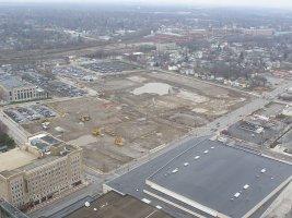
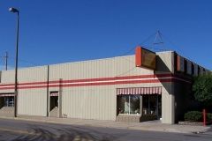
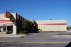
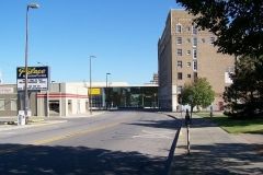
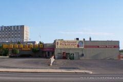
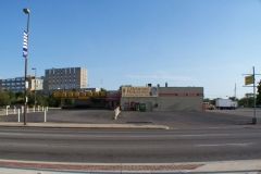
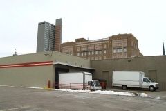
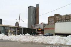
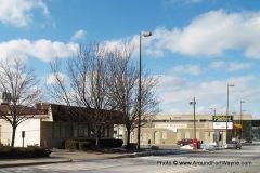
One of the reasons the City decided on the walkway to connect the new hotel to the Grand Wayne Center via an Embassy Theatre connection, is because of the water table levels in the area. To have built a tunnel under Jefferson Boulevard into the GWC would have required constant 24/7 365 pumping of water from the area. When the ballpark is finished, the field will be approximately 14.25′ below the surrounding area’s concourse level. With last week’s rain, the field looked more like a place to play water polo than baseball.
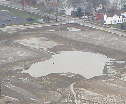
The above photos are from the City’s webcam website. Follow the link listed to the left under the Harrison Square section.
In the December 4, 2000 edition of the News Sentinel appeared an article entitled, “Excavation for a downtown arena could lead to surprises,” by Mike Dooley. The following is interesting when looking at the Harrison Square project:
 While some of the finds are impossible to predict, Camperman and Norris said contractors whose work takes them below ground downtown are reasonably certain to find two troublesome things – sand and water.
“You don’t build downtown unless you build on pilings,” Norris said. “That’s just a fact of life. You’re going to run into soft ground or sand nearly every place.”
Norris likes the possibility that the downtown was once an ancient riverbed, but Camperman, has another theory.
“I think it’s part of what’s called a ‘beach ridge’ from Lake Maumee,” the health department inspector said.
“It’s nothing but sand and loose soil for hundreds of feet down in some places. I know one contractor who thought it was great when his test boring hit hard clay at 50 or so feet. He went another 6 inches though, and was right back in sand again.”
Water also bedevils those who build downtown.
“There’s what amounts to an underground river that flows through downtown,” Norris said. “No one’s exactly sure where it goes, but it’s there and people run into it all the time.”
Norris experienced the problem firsthand when his church, First Presbyterian, decided to build a theatre at its location on West Wayne Street.
“We had nothing but constant water problems. We put in sump pumps, but it wasn’t a matter of drying it up – it was a matter of constantly dewatering the place. You couldn’t get ahead of it.”
Camperman has an 1857 sketch of downtown he believes shows the source of the water woes – the long-forgotten Duck Creek.
The sketch shows the creek, running south from the St. Mary’s River to just north of the old canal, then disappearing underground. “That’s the downtown ‘river,’ he said. “It’s still there.”
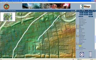
At the Allen County website, you can access topographical information for the downtown area:
The white lines, that I’ve added, mark what looks like the remnants of a shore line, possibly for Duck Creek? Duck Street runs between Clinton and Barr Street on the South side of Headwaters Park. Is there significance in the street name? The other significant observation from the above map, which is also evident to anyone who has walked or even driven the Harrison Square area is that HS lies at the bottom of a downgrade from Harrison Street. This can also contribute to water problems in the area. On January 11, 2008, more shafts were being drilled which will undoubtedly be used to pump water out of the area.
On December 4, 2007, I spoke with Greg Leatherman, Deputy Director of Community Development, about several items, including this question of water which Greg stated he was dealing with:
“… You try to look at 10-year, 20-year 100-year rain events and how to optimize the cost of the design and construction of the storm and ground water pumps that are necessary for the field and condos to remain water free and within budget constraints. What kind of catastrophic event do you have to anticipate? It’s very similar to the City’s combined sewer overflow situation. It costs, and I’ll use round numbers, $350 million dollars for the city to take 110 overflow events down to 5 events in a year. To get it from 5 to 1 or zero is almost double the $350 million - I’m not precisely right, just giving an example. It’s that chasing of that last extra 4 or 5 events that almost in some cases doubles the price.
A very similar principle applies here – you can do a hundred year event, but what if you want to do a 200 hundred year event? Then you’re doubling the prices or some ratio that makes it very difficult to remain in the constraints of the budget. If you want to build a pump station that guarantees that you’ll never ever have any water in that field, you won’t have much of a ballpark because you’ll put all your money into those pumps. So you’ve got to have people help you with that issue and we’re still dealing with that. We’ll find that right place.”
It will be interesting to see how the pumping stations and design are incorporated into the ballpark area.
One other item which we talked about, and was briefly alluded to in the cited article was the fact that when excavation first commenced, the entire area next to Ewing Street was dug out. Later, it was filled back in with dirt from another area of the HS project area. I shared this observation with Greg and he replied:
“They were removing bad dirt which they hauled away from the site. By bad dirt, I mean soft, mushy, moist too impossible to build on. They would continue to dig down until they got to good dirt and temporarily store it on site as they moved things around to get the dirt right and they took away from the site bad dirt.”
